I recently heard somebody say that Baton Rouge has the traffic of a city twice its size. Ouch.
So it became time to put my SimCity experience to good use. I am now working on a mass transit map of Baton Rouge that would personally make my life better. (Your happiness is not guaranteed.)
Map key
Blue Line (light rail)Note: Internet Explorer 8 may not display the rail lines, only the markers. Please use Chrome, Firefox, Safari, or Opera.
Here's a list of my concerns with this personal plan so far:
I've more or less copied the proposed streetcar line around LSU from the FutureBR Vision draft (page 40) except I put it on Nicholson Extension instead of Stadium Drive and made a loop downtown. I also bypass LSU Avenue by running along W. Lakeshore. (I get the feeling that neighborhood wouldn't want a streetcar passing through it.) I'd also still want the line to be near Alex Box Stadium as those fools moved it farther down Nicholson.
In reality (and not just my personal fantasy land) the plan will have to be piecemeal. In programming terms, they'll have to use agile development, which means the system will have to be usable after each iteration of development. Then hopefully, the success and awesomeness of a tram and light rail in Baton Rouge will cause naysayers to instead say yes and to support expansion of the system. Really, I think the Perkins-LSU tram would be the best first installment. Obviously, the loop to the Perkins Transit Center could be left out since there would be no Blue Line to connect with.
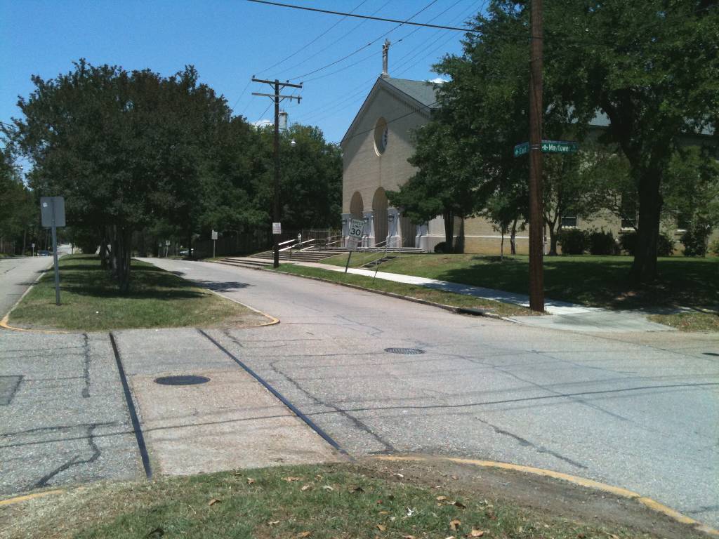
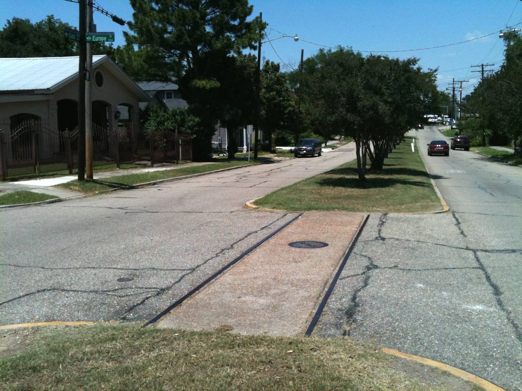
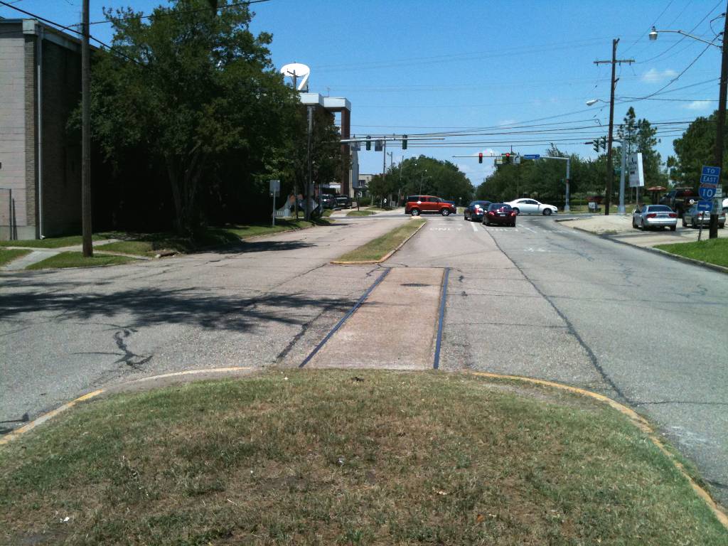
I read that there used to be streetcar lines on South Blvd, East Blvd, and 19th St, but that's not entirely accurate. While there are rails in the intersection of East Blvd. with Mayflower, Europe, and France, my research shows that they never existed on South. (See my Baton Rouge Streetcar Map (1890-1936) for more details.) I felt it would be great to bring routes back to the streets that used to have them. I originally had the G-N Loop tram on 19th St too, but I decided to move it to 22nd to make better use of the CATS bus terminal. The terminal, Greyhound station, and commuter train station are just far enough apart that it prompted me to have a tram going in both directions on the road between them (Florida).
In the more distant future, it should be possible to tear down I-110, leaving only the Blue Line. The interstate is built way too close to downtown and separates the white faces from the black faces.
As a final question, do you suppose there used to be a West Blvd downtown? North, East, and South Blvd's make three sides of the square around Beauregard Town hinting that St. Louis used to be called West Blvd.
And while I'm at it, why is there also a North Street? It just confuses things.